Community guide
Living in Wheatland, Wyoming
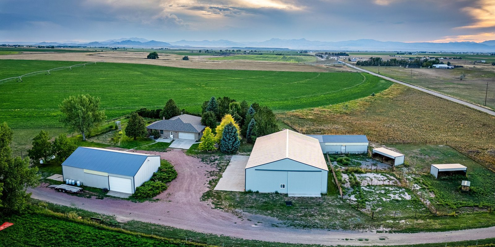
Farm and ranch country with Laramie Peak on the horizon, about an hour north of Cheyenne.
Why people move here
Wheatland is the county seat of Platte County and a true small town, with 3,588 residents at the 2020 Census. It sits at about 4,750 feet on the high plains east of the Laramie Range, more than 2,000 feet lower than Laramie, with a big view of Laramie Peak on clear days.
Most people come here for room. For the price of a city lot in Northern Colorado, buyers find homes on acreage, horse setups with outbuildings, and raw land with mountain views. Town still has the basics, including a hospital, schools and a downtown, and Cheyenne is about 70 miles south on I-25 for everything else.
Mariah works Wheatland and Platte County regularly, from in-town rentals to 35-acre homesites and big ranch tracts. She can walk you through wells, water rights, covenants and road access before you fall in love with a view.
Acreage, horse property and shops
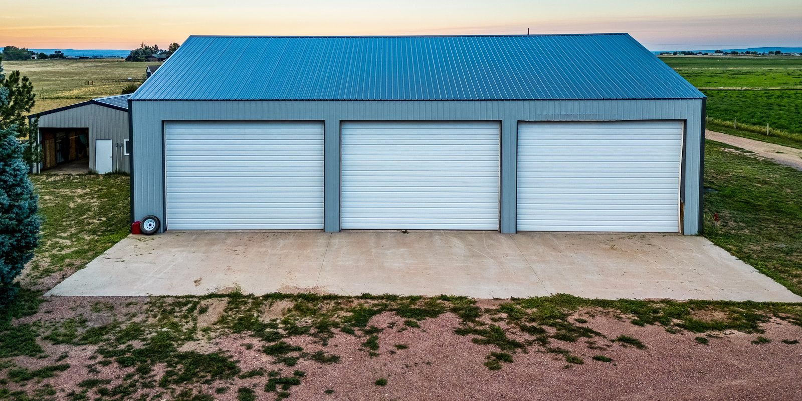
Close-in acreage. Small acreages on the edge of town are the sweet spot for horse owners who want pasture, a barn and a big shop without a long gravel drive. Many sit right next to irrigated hay ground.
Mountain homesites. West of town toward the Laramie Range, subdivisions like Sybille Sky Ranch and Laramie Peak Ranch offer 35-acre tracts with long views, wildlife and true privacy. Power, wells and winter access vary tract by tract.
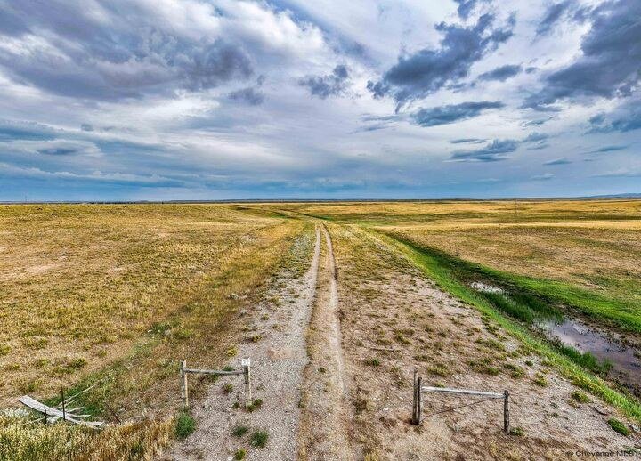
Ranch land. Larger grazing and recreational tracts come up across Platte County. Mariah currently lists a 409-acre tract on Antelope Creek Rd.
In town. Wheatland's older neighborhoods have affordable single-family homes and small multifamily buildings that appeal to investors.
Wheatland at a glance
- • Platte County seat · 3,588 residents (2020 Census)
- • Elevation ~4,750 ft
- • ~70 miles to Cheyenne on I-25, about an hour
- • Laramie Peak (10,274 ft) to the west
- • Platte County School District #1
- • Laramie River Station ~5 miles northeast
Buying land or a ranch here?
Mariah is a CCIM and a longtime investor herself. She'll help you sort out wells, water rights, covenants, power and access, not just show you the view.
Ask about WheatlandWork and water
Farms, ranches and the power plant
Wheatland was built on irrigation. Water from the Laramie River and Sybille Creek has been turned onto the Wheatland Flats since the 1880s, and the Wheatland Irrigation District still delivers it today. The result is green hay fields, cattle and farm ground right up to the edge of town.
The other big employer is the Laramie River Station, a coal-fired plant about five miles northeast of town operated by Basin Electric. Its three 570-megawatt units came online between 1980 and 1982, for 1,710 megawatts in all, and nearby Grayrocks Reservoir supplies its cooling water (Basin Electric).
Get outside
Laramie Peak, Sybille Canyon and the reservoirs
Laramie Peak. At 10,274 feet it is the high point of the North Laramie Range and a landmark Oregon Trail travelers used. The Laramie Peak Trail climbs about 2,500 feet from Friend Park in the Medicine Bow National Forest, past Friend Creek Falls, to views across several states (Forest Service).
Sybille Canyon. WY 34 winds through the canyon between Wheatland and Laramie. Along the way, the enclosures at the Tom Thorne/Beth Williams Wildlife Research Center hold elk, deer and bighorn sheep you can see from the highway, best in the early morning (Wyoming Game and Fish).
The reservoirs. Grayrocks Reservoir, about 16 miles northeast of town, is managed as a public access area for fishing and wildlife. Wheatland Reservoir #3, out on the Laramie Plains northeast of Rock River, is the largest reservoir in Game and Fish's Laramie Region when full and is known for trout well over 20 inches (Wyoming Game and Fish). Glendo and Guernsey state parks are also in Platte County, along the North Platte River.
Watch
See the country around Wheatland
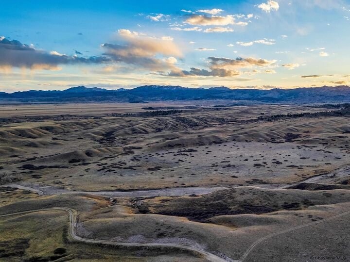
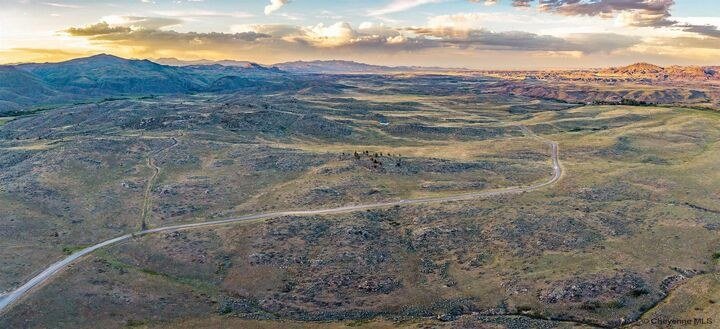
Two of Mariah's videos from Platte County: a cabin on 10 acres with mountain views, and a hunting tract at Laramie Peak Ranch.
A cabin on 10 acres outside Wheatland
Tract 29, Laramie Peak Ranch
On the market now
Wheatland-area listings

404 10th St
Wheatland, WY 82201

Tbd Antelope Creek Rd
Wheatland, WY 82201

Tr 8 Sybille Skye
Wheatland, WY 82201

Tr 29 Laramie Peak Ranch
Wheatland, WY 82201
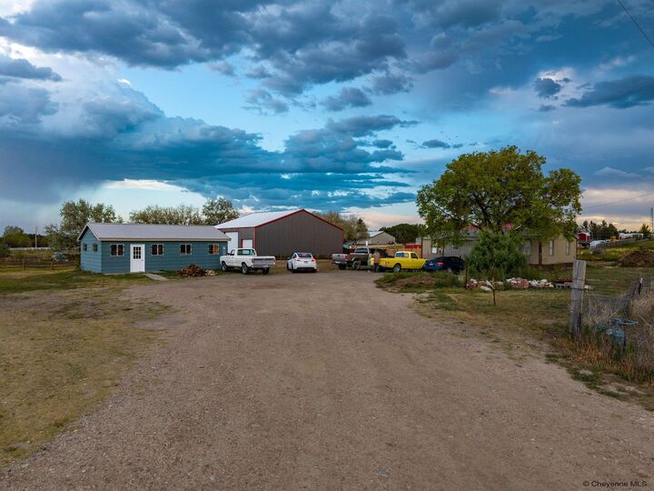
115 Hightower Rd
Wheatland, WY 82201
Moving-to-Wheatland FAQ
How far is Wheatland from Cheyenne?
About 70 miles north on I-25, which most people drive in a little over an hour. Laramie is reachable over Sybille Canyon on WY 34, a scenic two-lane route that sees a lot of wildlife, so take it slow, especially at dawn and dusk.
Can I keep horses on acreage near Wheatland?
Often, yes. Much of the country around town is agricultural, and many rural parcels allow horses and livestock. Rules vary by subdivision covenants and county zoning, so Mariah checks the covenants, water rights, well permits and access for each property before you write an offer.
What is there to do outdoors?
Laramie Peak, the tallest point in the North Laramie Range, has a steep day hike from Friend Park in the Medicine Bow National Forest. Sybille Canyon has roadside wildlife viewing, Grayrocks Reservoir northeast of town is a public access area, and Wheatland Reservoir #3, out on the Laramie Plains, is known for big trout.
Which school district serves Wheatland?
Platte County School District #1 serves Wheatland, with Libbey Elementary, West Elementary, Wheatland Middle School and Wheatland High School. Guernsey and Glendo are served by Platte County School District #2. Confirm the assigned schools for a specific address directly with the district.
What drives the local economy?
Farming and ranching, much of it on ground irrigated by the Wheatland Irrigation District, plus the Laramie River Station power plant northeast of town. Wheatland is also the Platte County seat, so county services and offices are here.
Map
Wheatland on the map
On I-25 about 70 miles north of Cheyenne, with the Laramie Range to the west and the Laramie River running past town.
Wheatland on your list?
Horse property, a shop, or 35 acres with a view of Laramie Peak. Find out what your budget buys here.
Facts on this page come from the sources linked next to them. Listing information is deemed reliable but not guaranteed. Mariah Jeffery, Ph.D., CCIM, is a REALTOR® licensed in Wyoming and Colorado with Coldwell Banker The Property Exchange, 255 Storey Blvd, Cheyenne, WY 82009. Equal Housing Opportunity.